About
Coordexa Spatial Systems
Building better systems for land acquisition, compensation and resettlement.
Coordexa Spatial Systems is a land information systems and geospatial technology company developing digital solutions for land acquisition, compensation and resettlement in Kenya.
Founded by Elvis Mutanyi, the company draws on practical experience with the information and workflows that underpin Resettlement Action Plans (RAPs). From parcel schedules and valuation records to succession documentation and grievance registers, these interconnected records are central to project implementation. Yet, when managed across disconnected spreadsheets, documents and GIS datasets, they can make coordination, traceability and informed decision-making unnecessarily difficult.
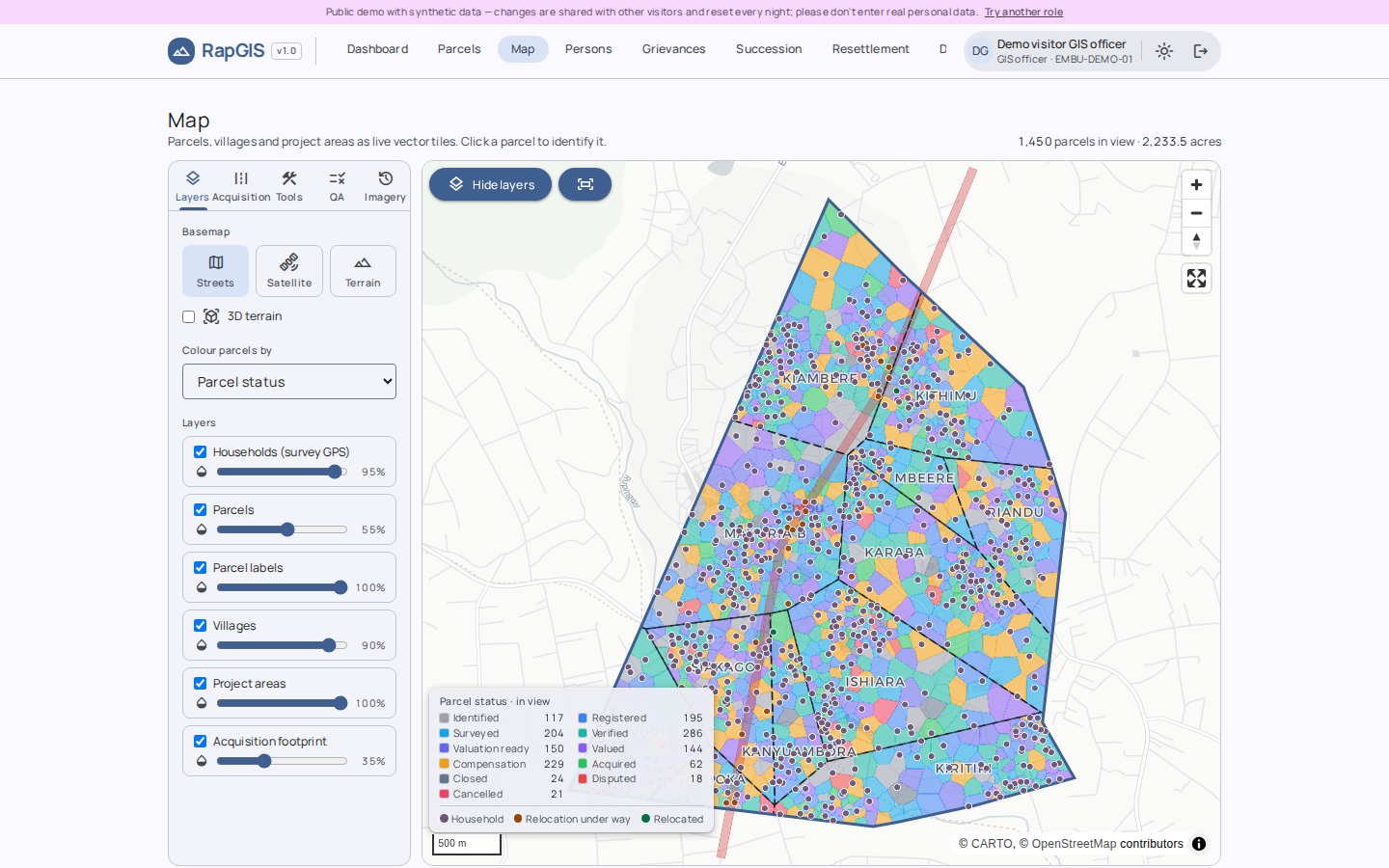
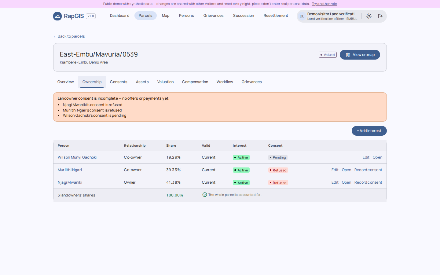
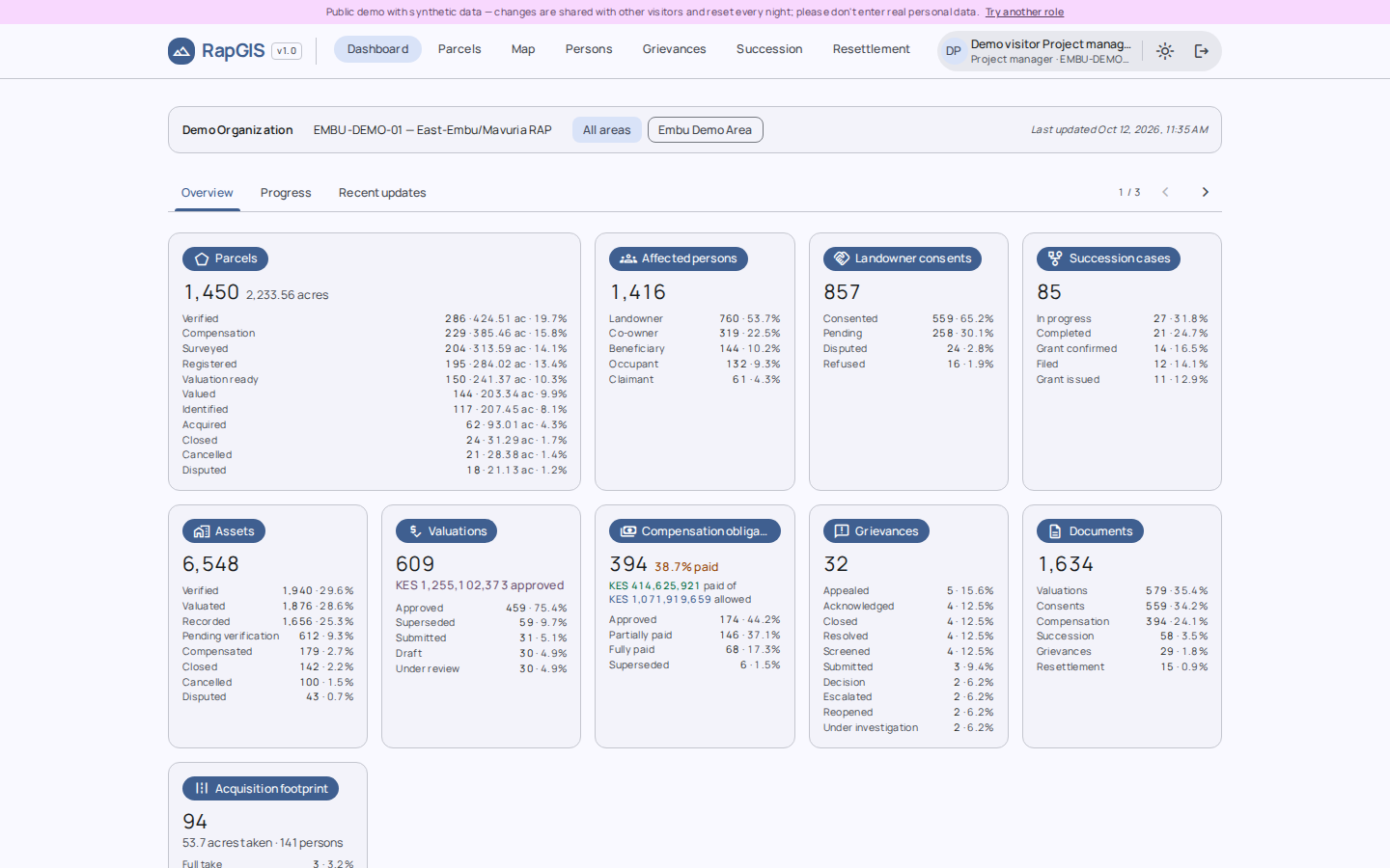
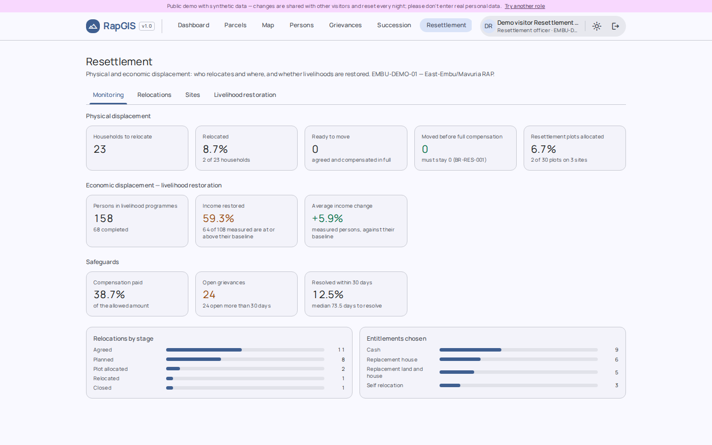
Our flagship platform, RapGIS, brings these processes into a unified, spatially enabled information management system. It is designed to connect land and affected-person records, support compensation workflows, improve information traceability and give project teams a clearer view of resettlement implementation.
Grounded in the Kenyan land administration context and informed by applicable national legislation and international frameworks, including the IFC Performance Standards and World Bank Environmental and Social Standards, our approach combines geospatial intelligence with structured data management to support more transparent, coordinated and accountable project delivery.
We work with RAP consultants, project developers and acquiring agencies seeking more reliable ways to manage land-related information and resettlement processes.
Our focus is simple: making complex land information more connected, traceable and useful for the decisions that matter.